Retail Parking Lot Occupancy and Store Footfall Measurement
Measure real customer traffic at retail sites from space. Klarety processes high-frequency optical satellite passes to count vehicles in parking lots, compute hourly occupancy curves, and correlate traffic patterns with sales periods and competitor activity. Retailers benchmark site performance without deploying ground sensors.
Analyze footfallStore traffic intelligence without ground sensor deployment
Footfall benchmarks from satellite parking analysis
Klarety agents count vehicles from high-frequency optical passes and return hourly occupancy curves and competitor comparisons.
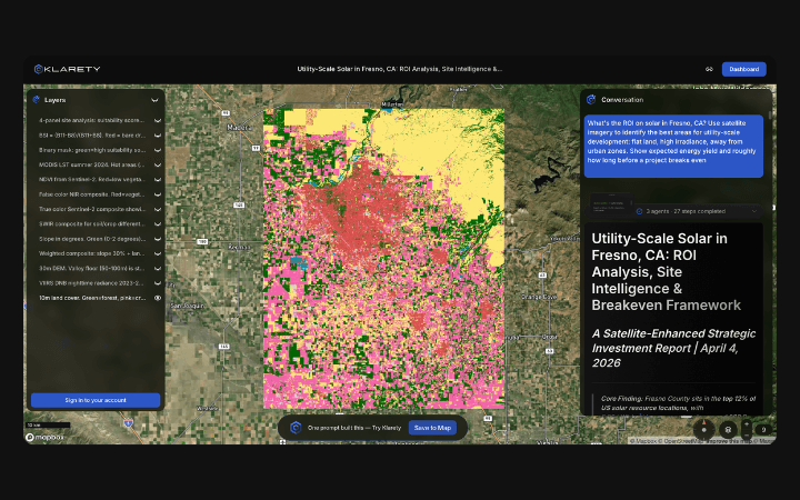
Vehicle counting and hourly occupancy curves
Agents classify parked vehicle density across lot polygons, compute occupancy rates, and correlate traffic with event calendars.
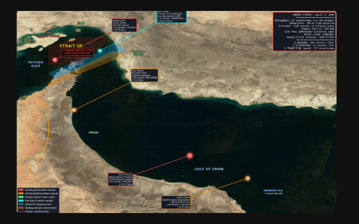
Occupancy layers for retail site GIS analysis
Export vehicle count grids and occupancy time-series for retail site selection model and trade area GIS tool integration.
Satellite vehicle counting for retail parking occupancy
Klarety agents detect vehicle presence in high-resolution optical imagery over defined parking lot polygons by identifying bright rectangular objects (vehicles) against asphalt. Vehicle count per polygon is normalized to lot capacity to yield occupancy rate. Weekly occupancy curves are benchmarked against competitors in the same trade area. Output is a weekly occupancy table, competitor comparison, and peak-traffic time classification.
Klarety AIMeasure parking occupancy at your retail sites