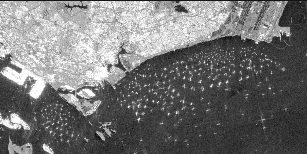
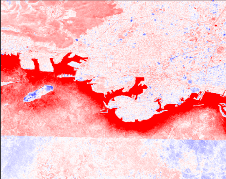
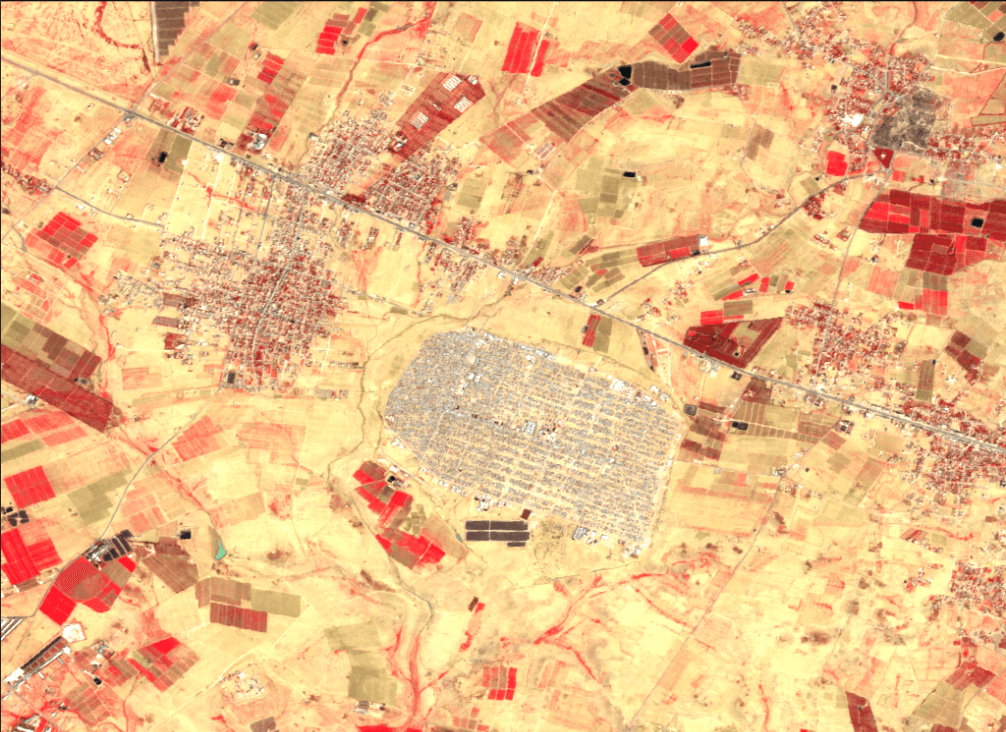
Map Templates

Explore our collection of pre-built analysis templates. From crop monitoring to urban planning, get started with professional map insights in seconds.

Financial Analysis

Port Activity

Port Activity

Monitor shipping volume at @singapore_port this week to predict commodity price movements and supply chain disruptions.

Infrastructure Investment

Infrastructure Investment

Track construction progress of @belt_road_initiative projects throughout late 2025 to assess regional economic development.

Commodity Tracking

Commodity Tracking

Analyze oil storage tank fill levels at @cushing_hub to forecast Q1 2026 crude inventory reports.

Retail Footfall

Retail Footfall

Measure parking lot occupancy at @walmart_locations in Virginia Beach to predict Q1 2026 revenue performance.

Mining Output

Mining Output

Monitor extraction activity at @escondida_mine to estimate copper production and 2026 market supply.

Geopolitical Analysis

Border Activity

Border Activity

Monitor infrastructure changes along @dmz_korea to track troop movements and construction patterns in Jan 2026.

Refugee Movement

Refugee Movement

Analyze settlement patterns and camp expansion near @zaatari_camp to estimate population flows over the last 6 months.

Maritime Claims

Maritime Claims

Track artificial island development in @south_china_sea throughout 2025 to monitor territorial expansion.

Energy Infrastructure

Energy Infrastructure

Monitor pipeline construction along @nord_stream routes to assess 2026 energy security implications.

Agriculture Monitoring

Crop Health

Crop Health

Analyze vegetation index for @central_valley_farms. Identify stress zones for the current winter season.

Irrigation Analysis

Irrigation Analysis

Check water levels in @lake_tahoe basin and predict drought impact for the upcoming 2026 season.

Harvest Planning

Harvest Planning

Predict optimal harvest time for @golden_gate_fields based on soil moisture and 2025 yield data.

Soil Erosion

Soil Erosion

Map soil erosion patterns in @midwest_plains over the last 5 years ending 2025 using comparative imagery.

Pest Alert

Pest Alert

Detect early signs of locust swarms in @east_africa_region and alert local authorities for 2026.

Deforestation Analysis

Deforestation Analysis

Analyze deforestation in the Amazon rainforest over the last 5 years ending 2025

Mining & Resources

Mineral Deposits

Mineral Deposits

Locate potential @copper_mines in the Andes using 2026 spectral analysis to identify surface anomalies.

Excavation Progress

Excavation Progress

Measure volumetric changes in @bingham_canyon excavation sites to track Q1 2026 output.

Road Logistics

Road Logistics

Analyze terrain stability for new 2026 access roads leading to @pilbara_iron_mine.

Urban Planning

Traffic Flow

Traffic Flow

Analyze Jan 2026 peak hour congestion patterns in @downtown_los_angeles to propose signal timing adjustments.

Green Space

Green Space

Identify heat islands in @phoenix_metro and suggest optimal locations for new 2026 parks.

Construction Monitoring

Construction Monitoring

Track vertical progress of @hudson_yards development using weekly satellite passes from late 2025.

Flood Risk

Flood Risk

Simulate rising sea levels on @miami_beach infrastructure to update 2026 residential zoning laws.

Climate & Environment

Glacier Retreat

Glacier Retreat

Visualize glacier retreat in the Himalayas over the decade ending 2025

Air Quality

Air Quality

Analyze air quality index (AQI) trends in Beijing during Winter 2025

Ocean Temp

Ocean Temp

Map sea surface temperature anomalies in the Pacific Ocean for Jan 2026