Artificial Island Construction Tracking in the South China Sea
Monitor dredging activity and base fortification in disputed waters at 5-day intervals. Klarety agents process Sentinel-2 multispectral imagery to detect sediment plumes, measure facility footprint expansion, and track material stockpile volumes. Each report includes annotated expansion maps and volume change estimates.
Start monitoringTerritorial expansion tracking from satellite imagery
Facility expansion reports from one AOI prompt
Klarety agents process Sentinel-2 time-series and return dredging extent maps and facility footprint change reports.
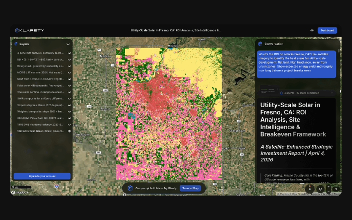
Dredging plume and construction phase detection
Agents compute NDWI anomalies and RGB change signatures to classify dredging intensity and construction phase at 5-day revisit.
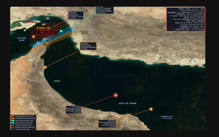
Expansion layers for geopolitical GIS monitoring
Output facility footprint change layers and stockpile volume estimates for territorial monitoring dataset integration.
Dredging plume and footprint expansion detection
Klarety agents compute NDWI time-series from Sentinel-2 to detect turbid dredging plumes and map newly reclaimed land area. Facility footprint polygons are compared quarter-over-quarter to measure expansion in hectares. SWIR change signatures classify new construction materials from bare reclaimed sand. Output includes expansion polygon overlays and area change tables.
Klarety AITrack island development in your AOI