
Apache Iceberg
Business tables linked to your map
Klarety GEOBricks
GEOBricks turns your GEOLakehouse into custom spatial workflows, pipelines, and applications: define the problem, area, and cadence, assign your sources, apply GeoAI on on-demand GPUs, and only surface what actually changed.
Try nowHow workflows wake up
Every GEOBricks workflow is a standing loop. You choose when it wakes, what it checks, and what happens when your rules are crossed.
On a schedule. Set a cadence and Klarety checks again automatically, for as long as the workflow runs.
Standing watch
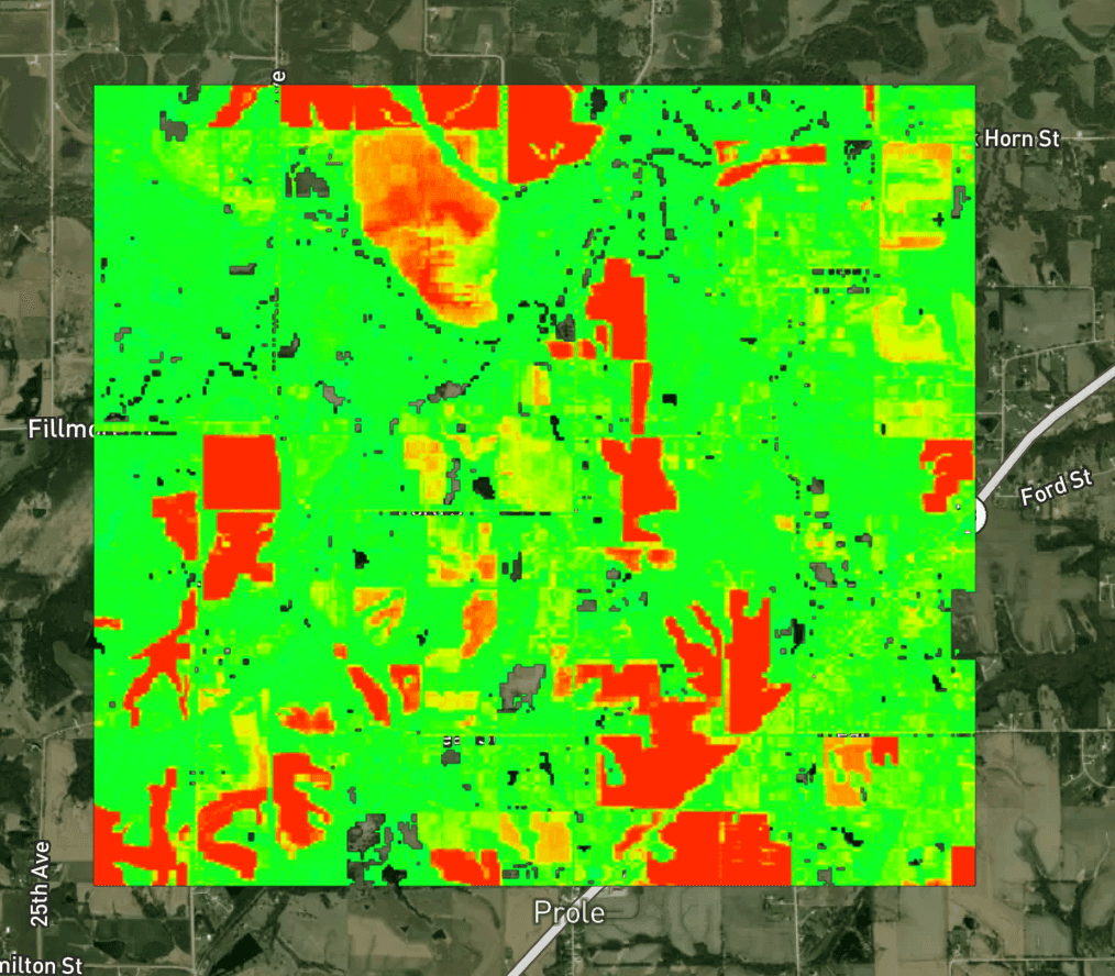
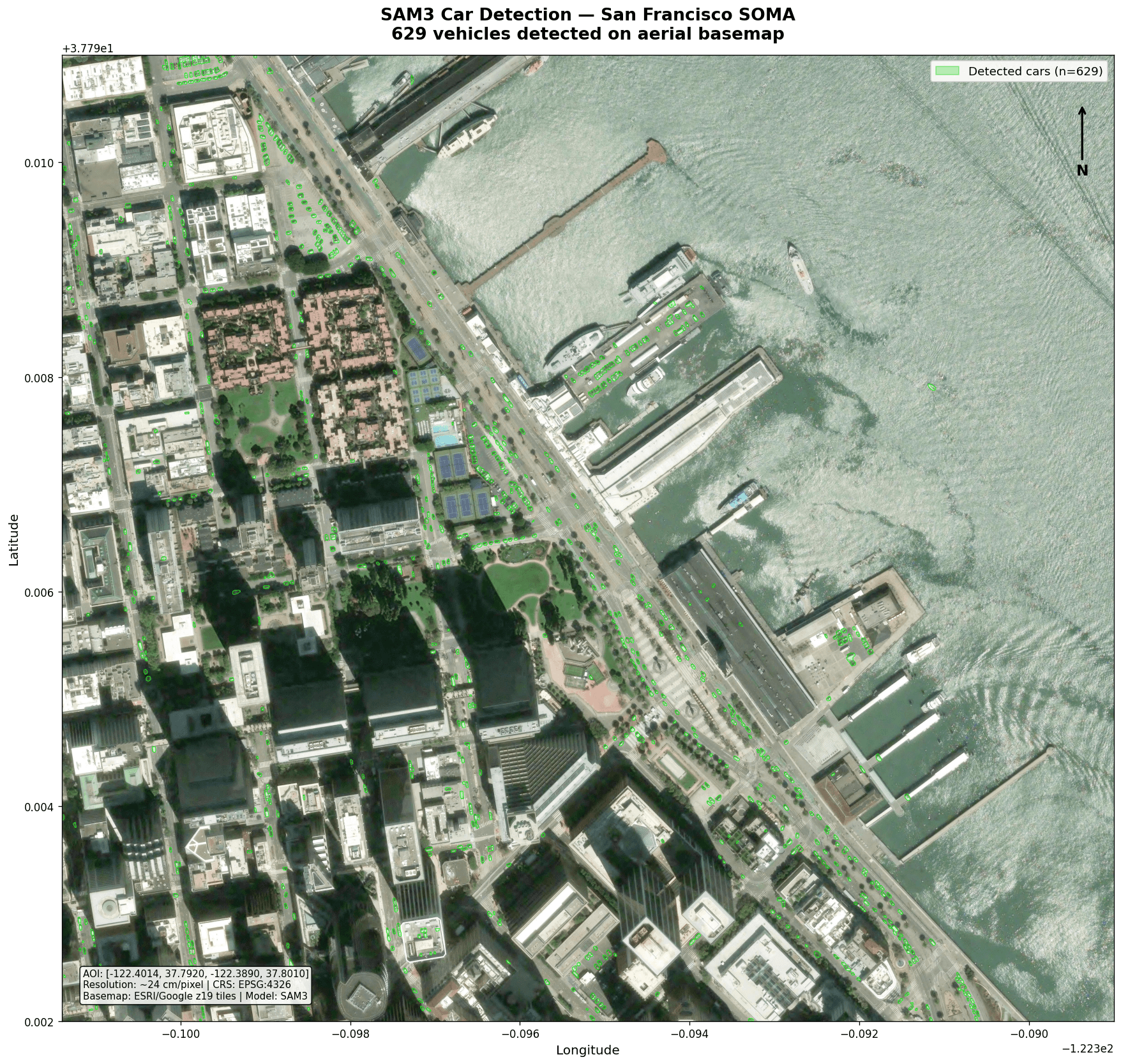
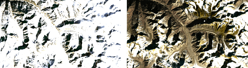
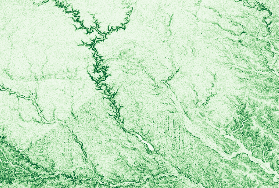
Perform Complex Analysis. Run object detection, deforestation tracking, wildfire spread, methane plume scans, and more the moment fresh imagery lands.
Complex analysis
Complex analysis
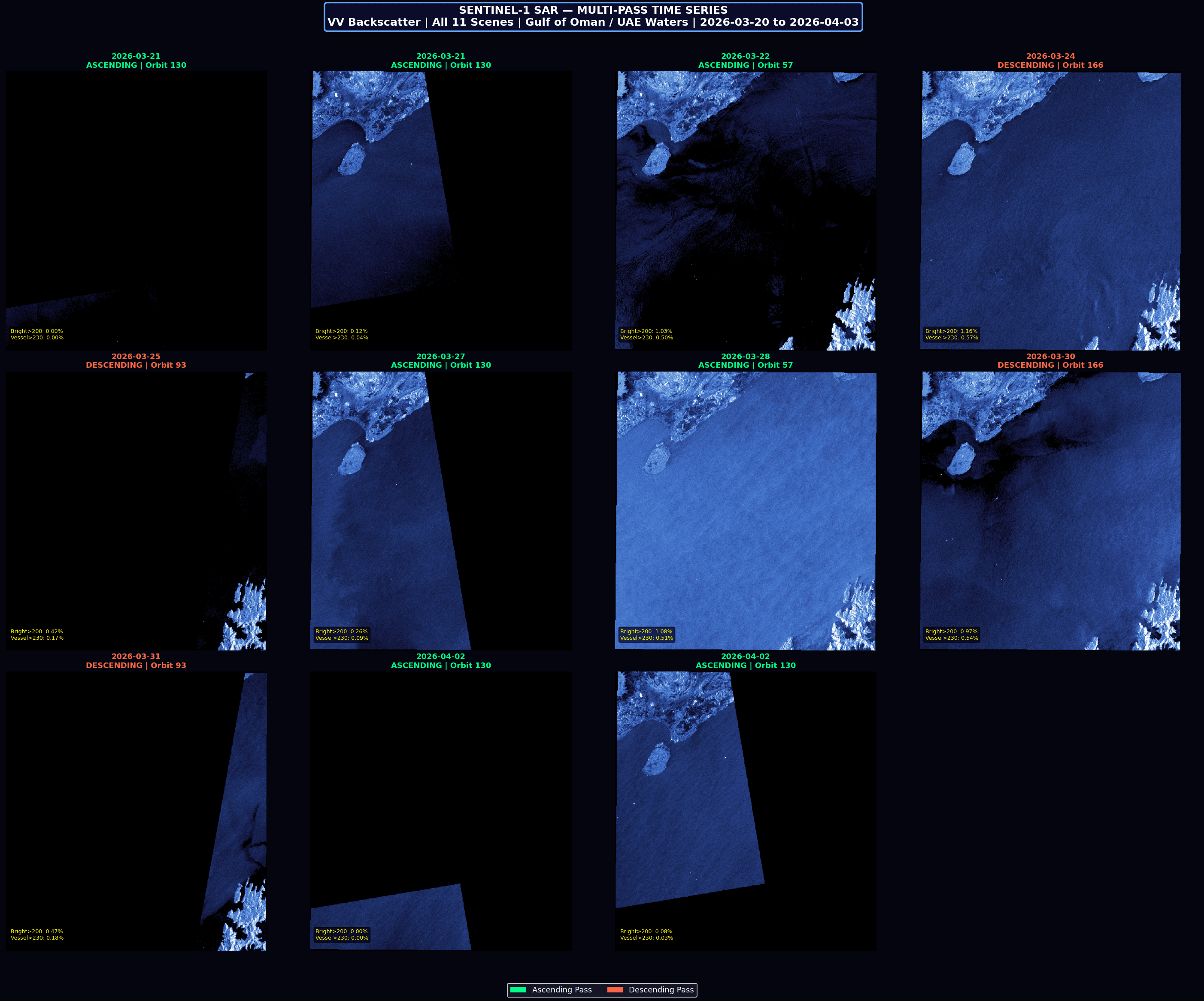
Your pipeline. Compose detection steps, set thresholds, and route follow-up when something needs a closer look.
Your rules
Describe the task. Review the results.
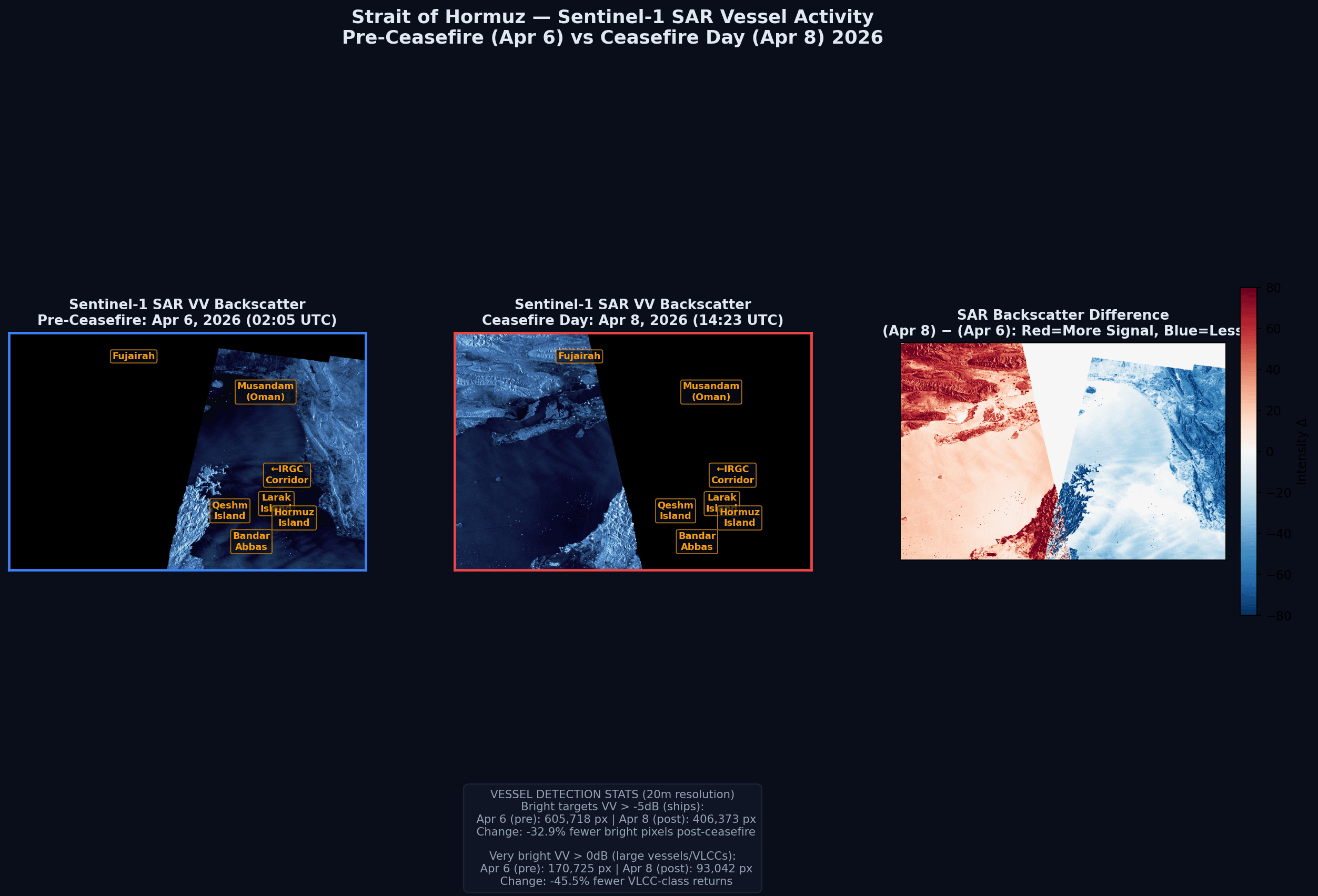
Every wake-up is one iteration: Klarety pulls the latest pass, runs your pipeline, and checks the result against your rules before anything reaches you.
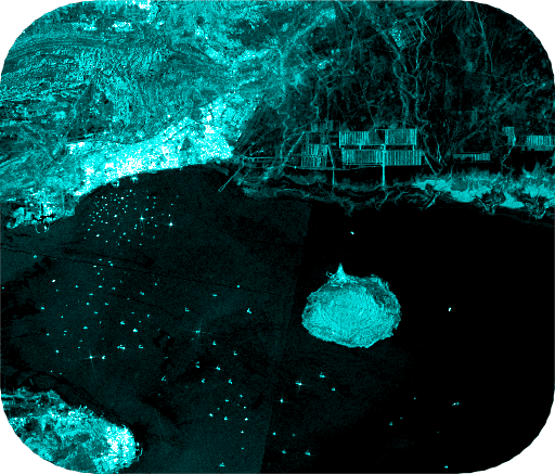
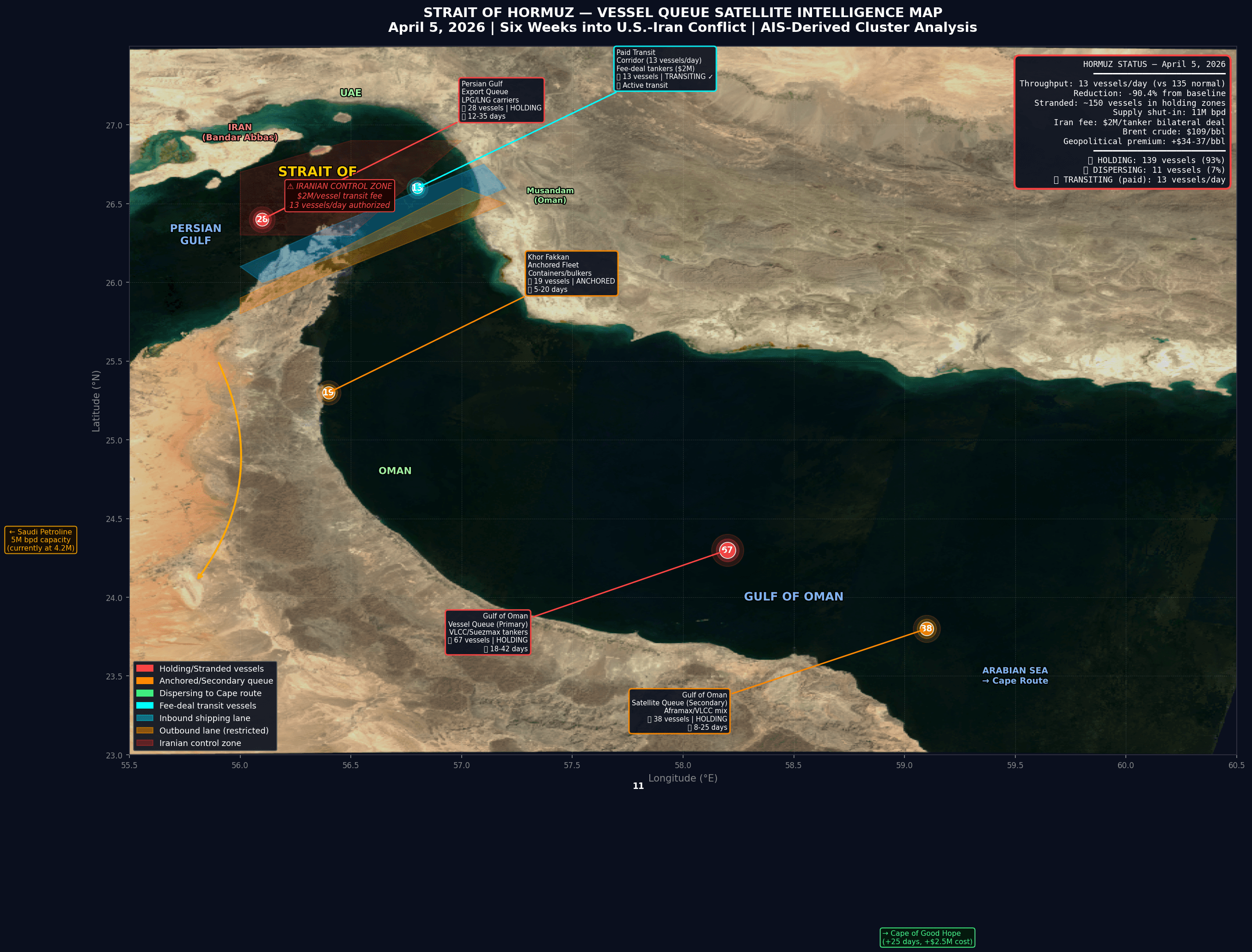
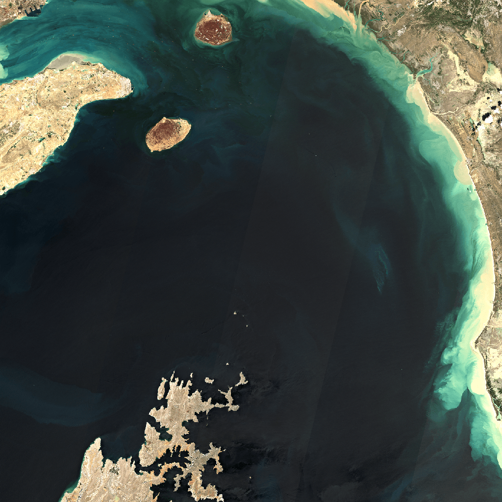
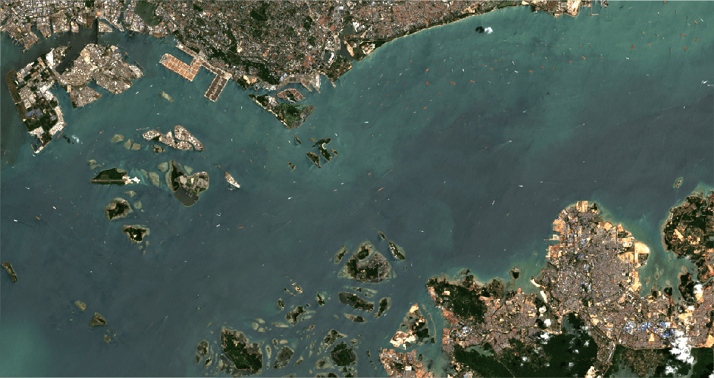
The iteration loop
Which site to watch?
Klarety flagged an anomaly
Under the hood
Each workflow is a standing loop. It waits, wakes on your cadence or a new scene, runs one iteration end to end, and keeps going, indefinitely, until you pause it.
Sentinel-2
Optical, 10m resolution
Sentinel-1 SAR
Radar, all-weather
Landsat 8/9
Optical, historical archive
Backed by your GEOLakehouse
GEOBricks workflows do not just alert and forget. Every iteration can be indexed straight into the GEOLakehouse, your governed spatial lakehouse, so what your workflows find becomes queryable history, not a one-off message.
Explore the GEOLakehouseCustom-built on the same Klarety foundation
Governed data, mission workflows, and delivery in your environment.
Apache Iceberg
Business tables linked to your map
S3 bucket
Internal vectors and reports ingested
Imagery catalog
Satellite layers over your area
Klarety lakehouse
SELECT site_id, ndvi, change_flag FROM mission_ops
1.2M rows · 3 sources fused
Get started
Describe the workflow you need, and see GEOBricks run it, live.

