Klarety Fury
The Spatial Coding
Agent That Runs Your Analysis
Ask a question about any place on Earth. Klarety Fury plans the analysis, writes real code, runs it on serverless GPUs against real data, and shows you every step, live.
Try now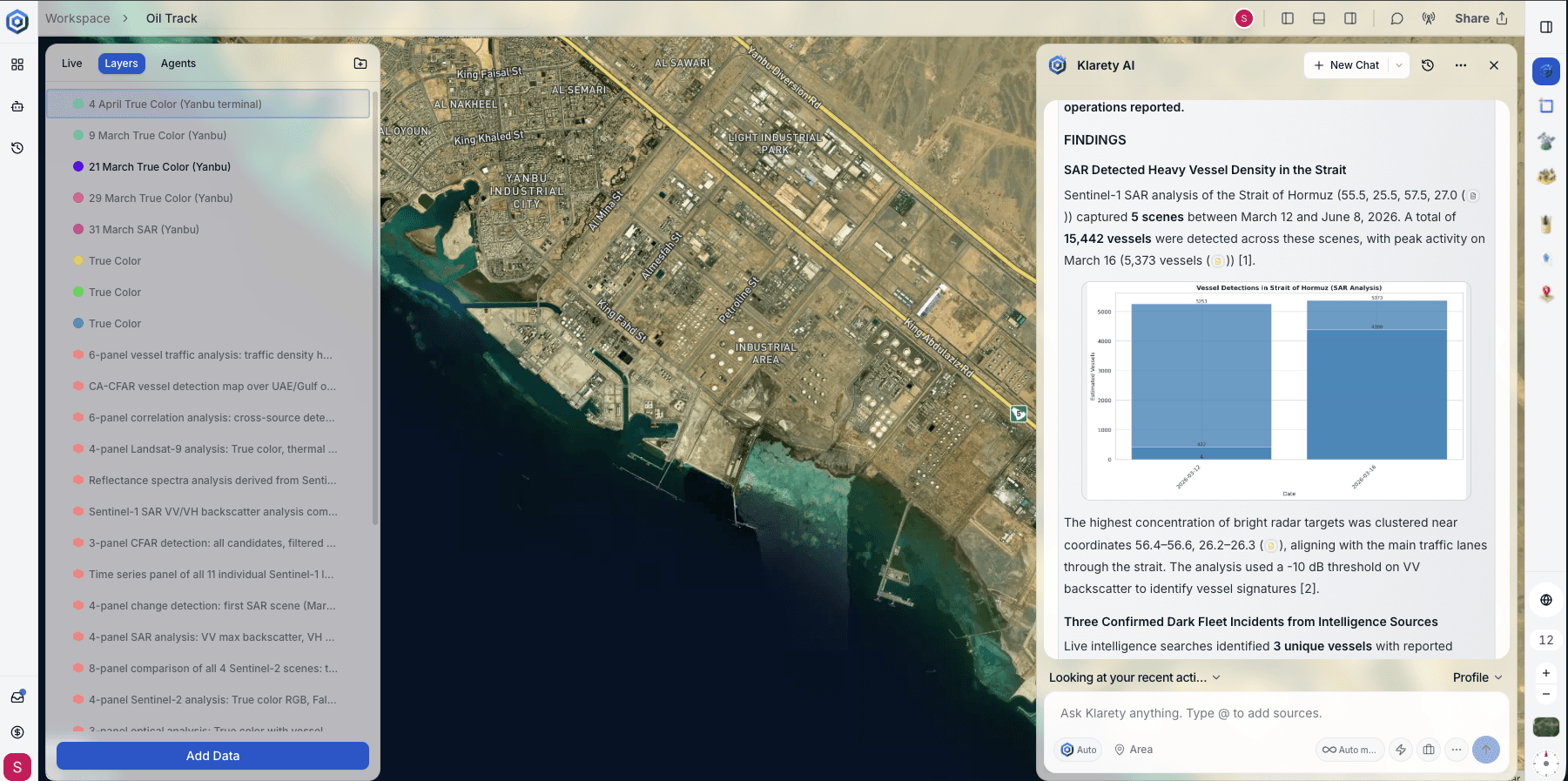
Not a chatbot. A geospatial analyst that codes.
Plan, code, run, verify. Every analysis, done the way an engineer would do it.
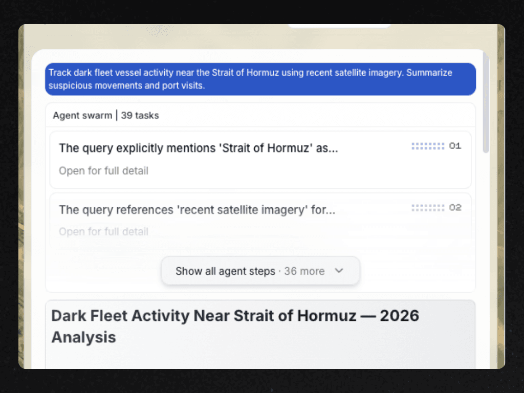
Runs in its own isolated GPU sandbox
Separated by design
Each run gets its own isolated space, every time.
No shared access
One customer's run cannot reach another's data.
Nothing left behind
The environment is torn down when the run ends.
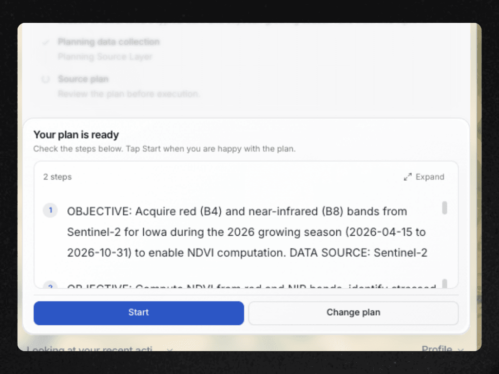
Plans the work, then iterates until it is right
Real planning
The question is broken into a real sequence of steps.
Self-checking
Findings are cross-checked before being reported.
Built to finish
It keeps working until it has a complete answer.
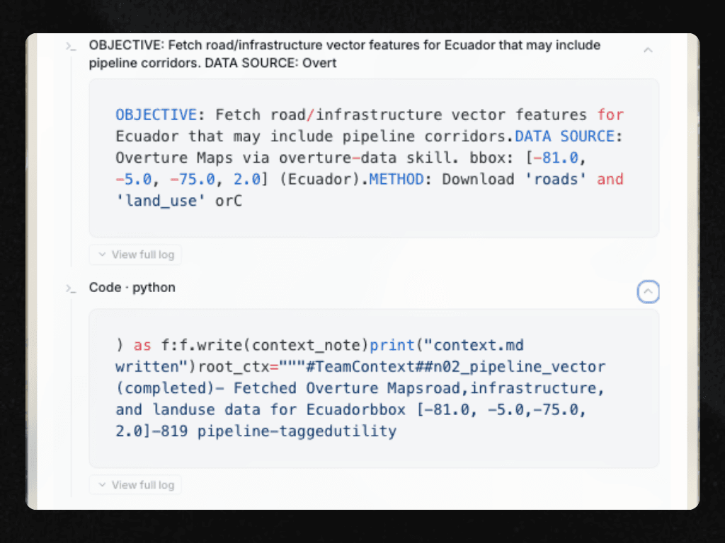
Writes original code, on the fly, against real data
Original, every time
Code is written fresh for your exact question.
Real data, live
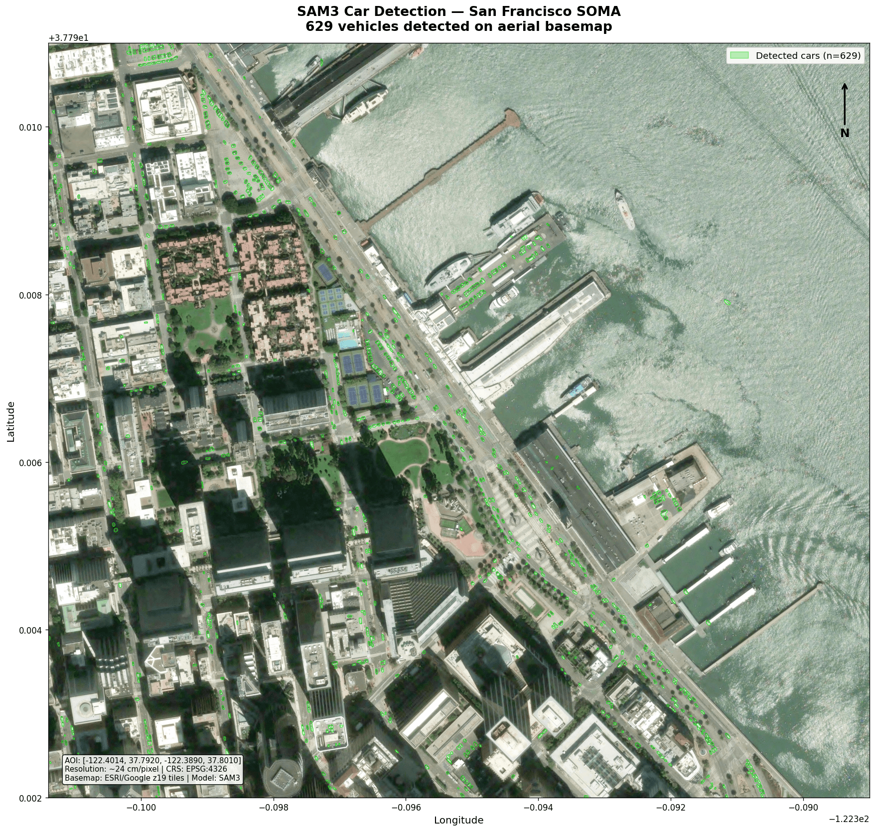
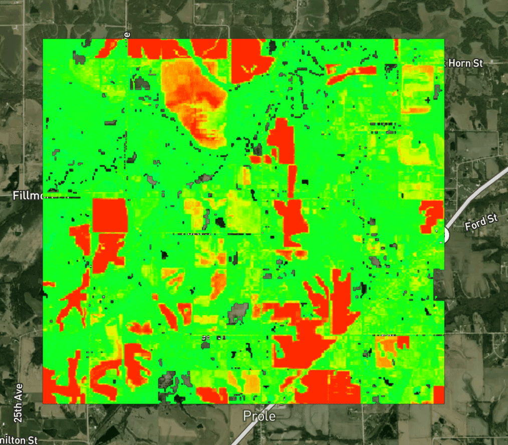
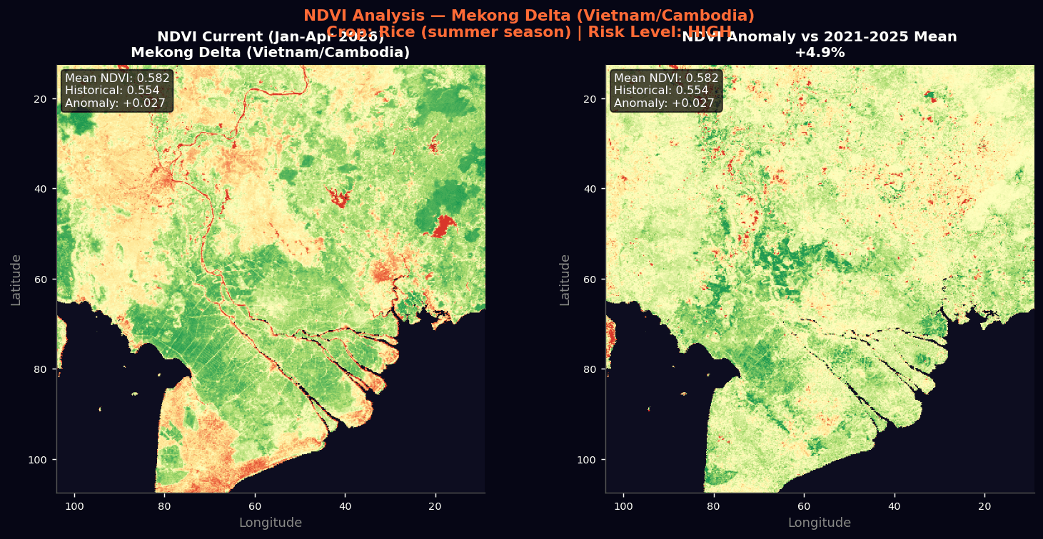
It queries live satellite archives, not a cache of answers.
Your data, too
It can work against what you already have, alongside public archives.
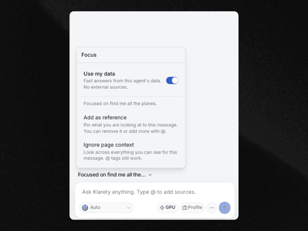
Grounded in your data
Pull from your GEOLakehouse, or cast a wider net.
Focus Fury on your own data for fast answers straight from the GEOLakehouse, or open it up to satellite archives and the web when the question needs more.
Real answers, real teams
How teams put it to work
Get started
See Fury plan, code, and run on your own question.
Bring your own question and watch Klarety Fury work through it, live.