GEOBricks
Build the custom spatial workflows, pipelines, and applications your challenge requires. Every run reads from the GEOLakehouse, compares against what it already knows, and indexes what changed.
Klarety GEOLakehouse
The GEOLakehouse stores, cleanses, and fuses your spatial and aspatial data into one AI-ready foundation. Satellite archives, your uploads, and every workflow output, organized by place and time. This is the data layer that powers GEOBricks and Fury.
Try now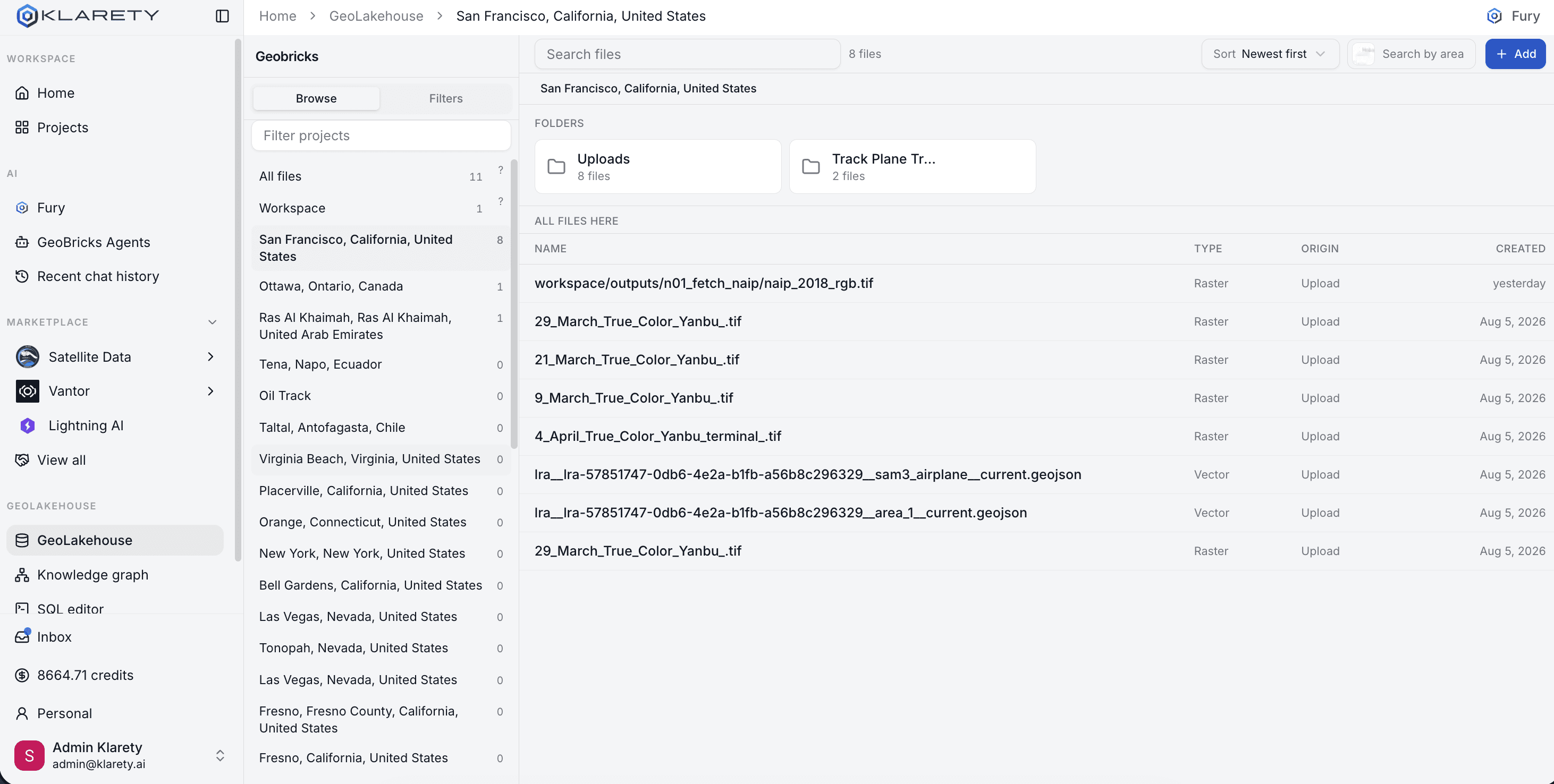
The Klarety data layer
GEOBricks and Fury solve different problems. They read from the same catalog, write back to the same history, and get sharper as your GEOLakehouse grows.
Build the custom spatial workflows, pipelines, and applications your challenge requires. Every run reads from the GEOLakehouse, compares against what it already knows, and indexes what changed.
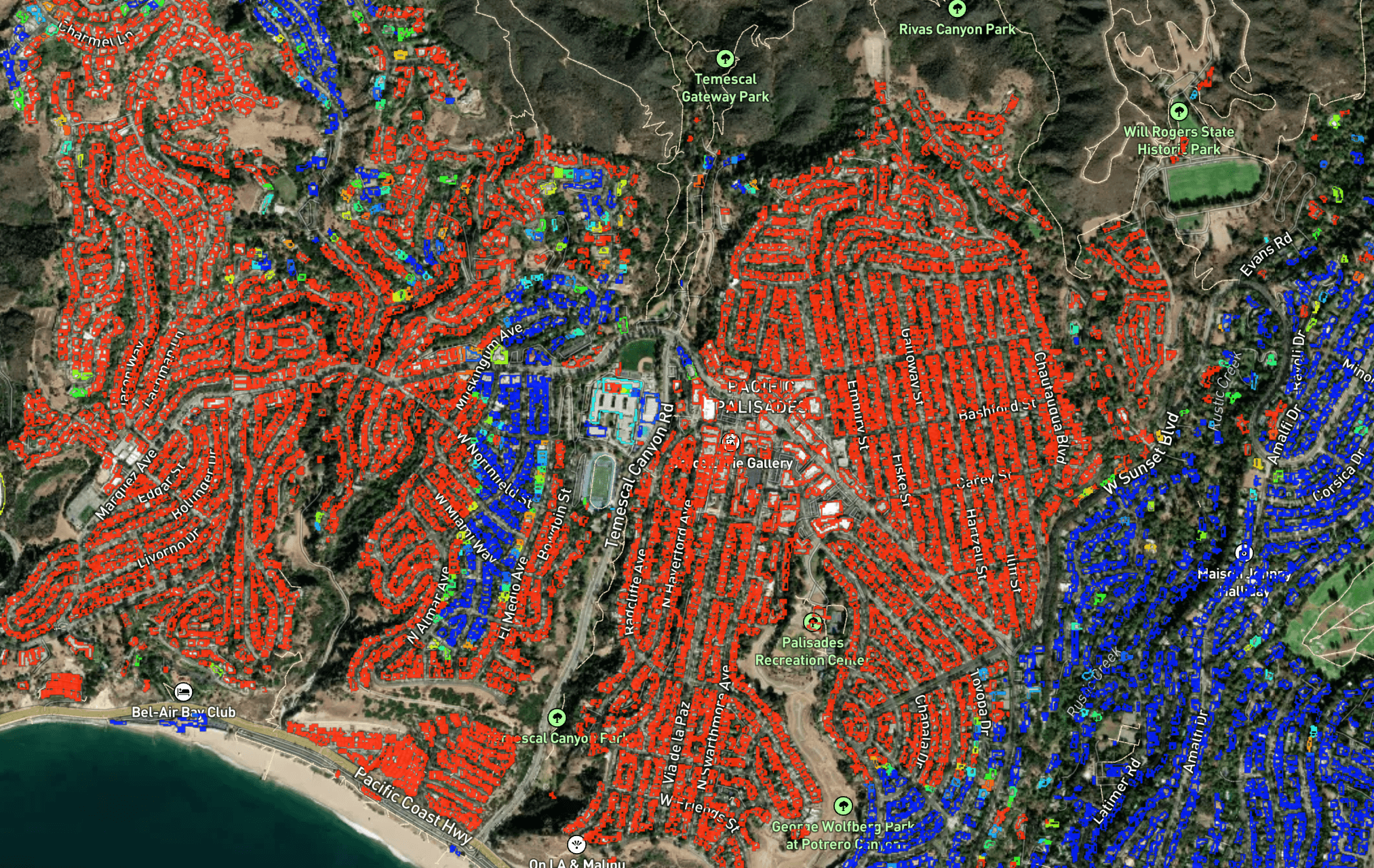
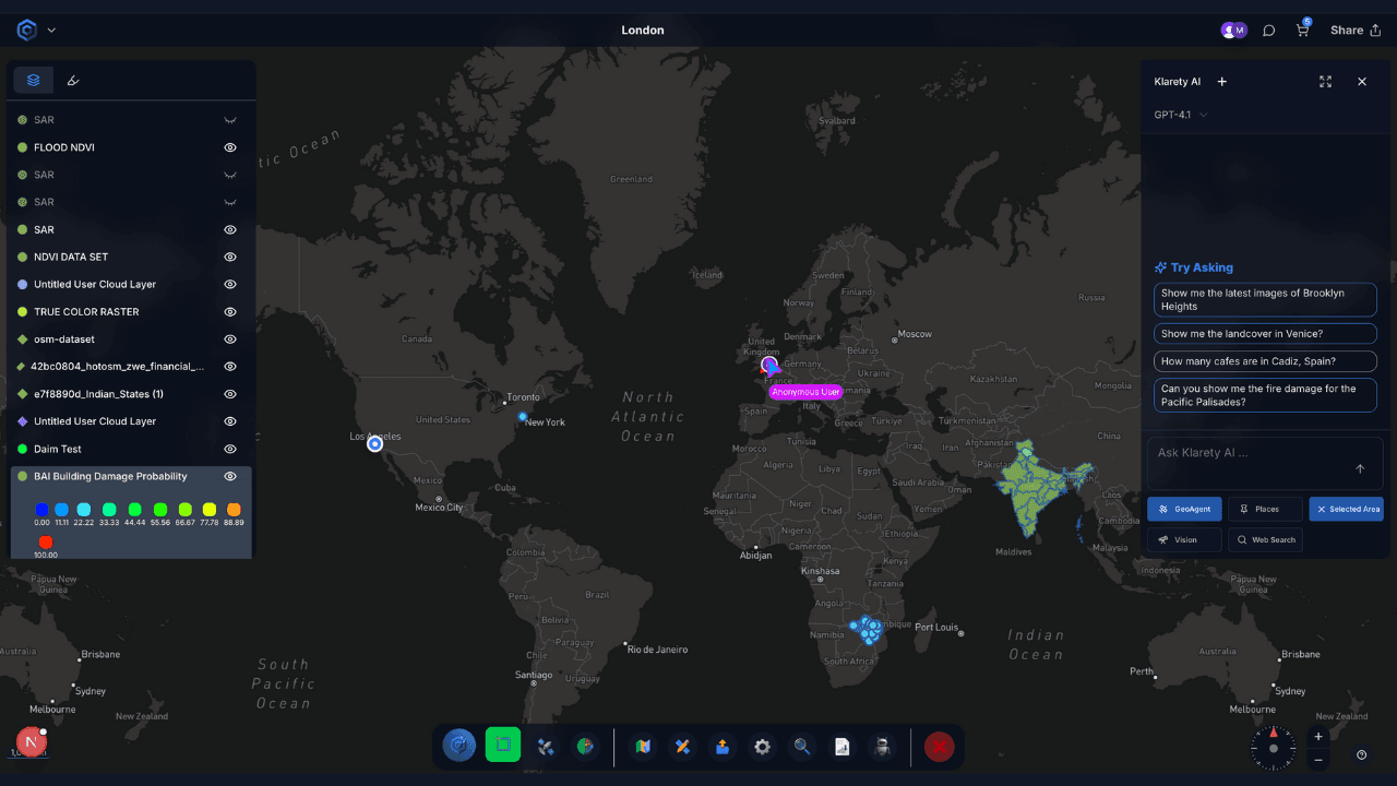
Ask a question about any place on Earth. Fury plans the work, pulls the right sources from the GEOLakehouse, runs live analysis on GPUs, and lands the answer back in your catalog.
Why the GEOLakehouse exists
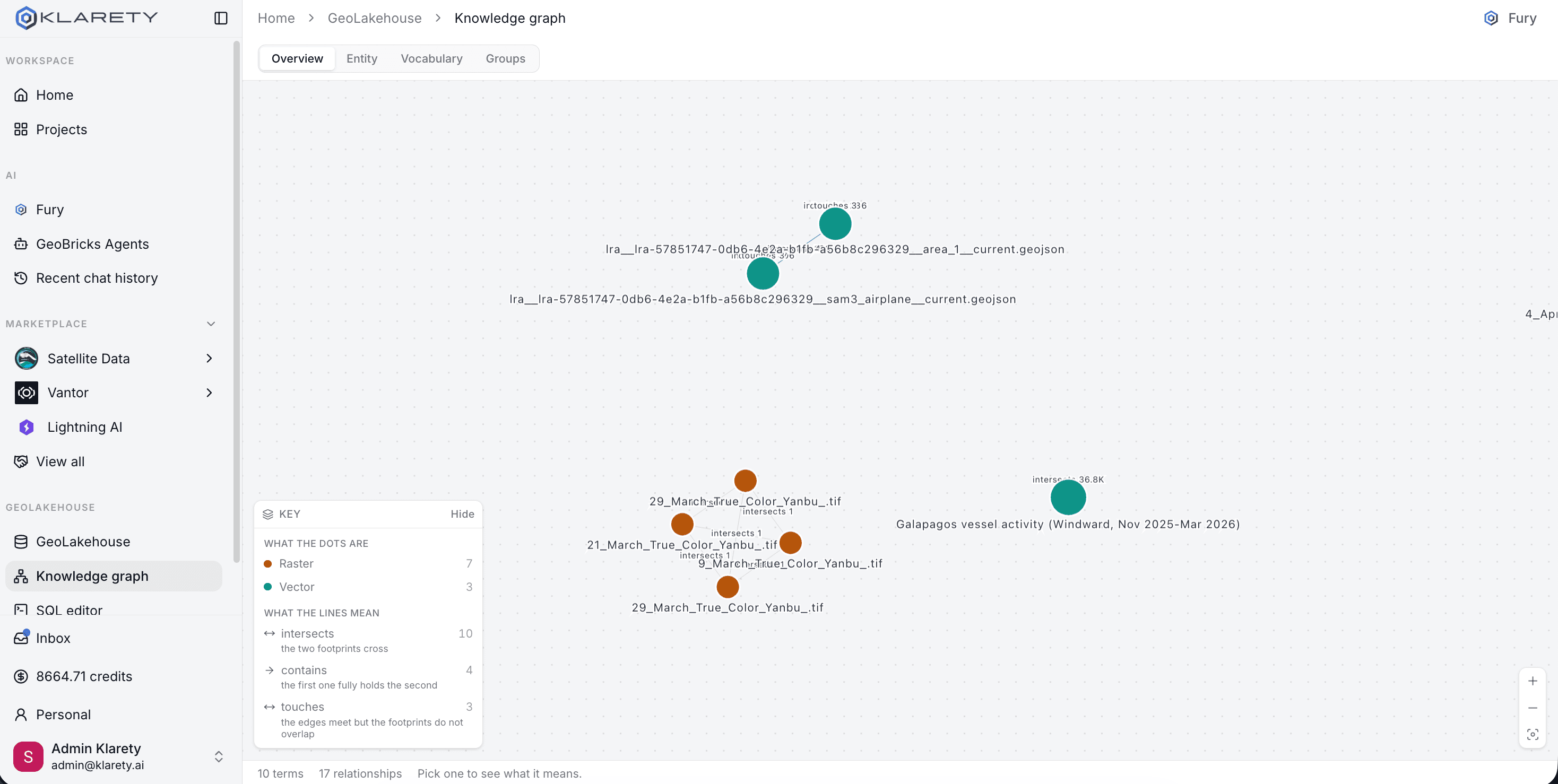
Public and private, unified
Satellite archives, vector layers, and your own uploads live in one governed home.
Indexed by place and time
Every asset is tied to where on Earth it belongs and when it was captured.
Built to grow
From a single site to a global portfolio, the same catalog holds it all.
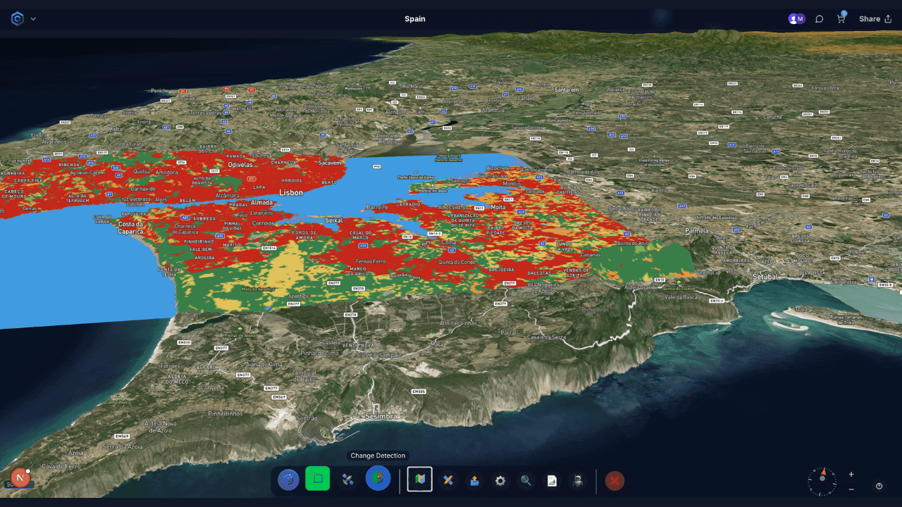
Raster and vector together
Imagery, boundaries, detections, and measurements queryable in one place.
Ready for hard questions
Join a satellite pass to a parcel, a baseline, and a business record in one ask.
Governed by your organization
Your scope, your rules. Nothing crosses team boundaries.
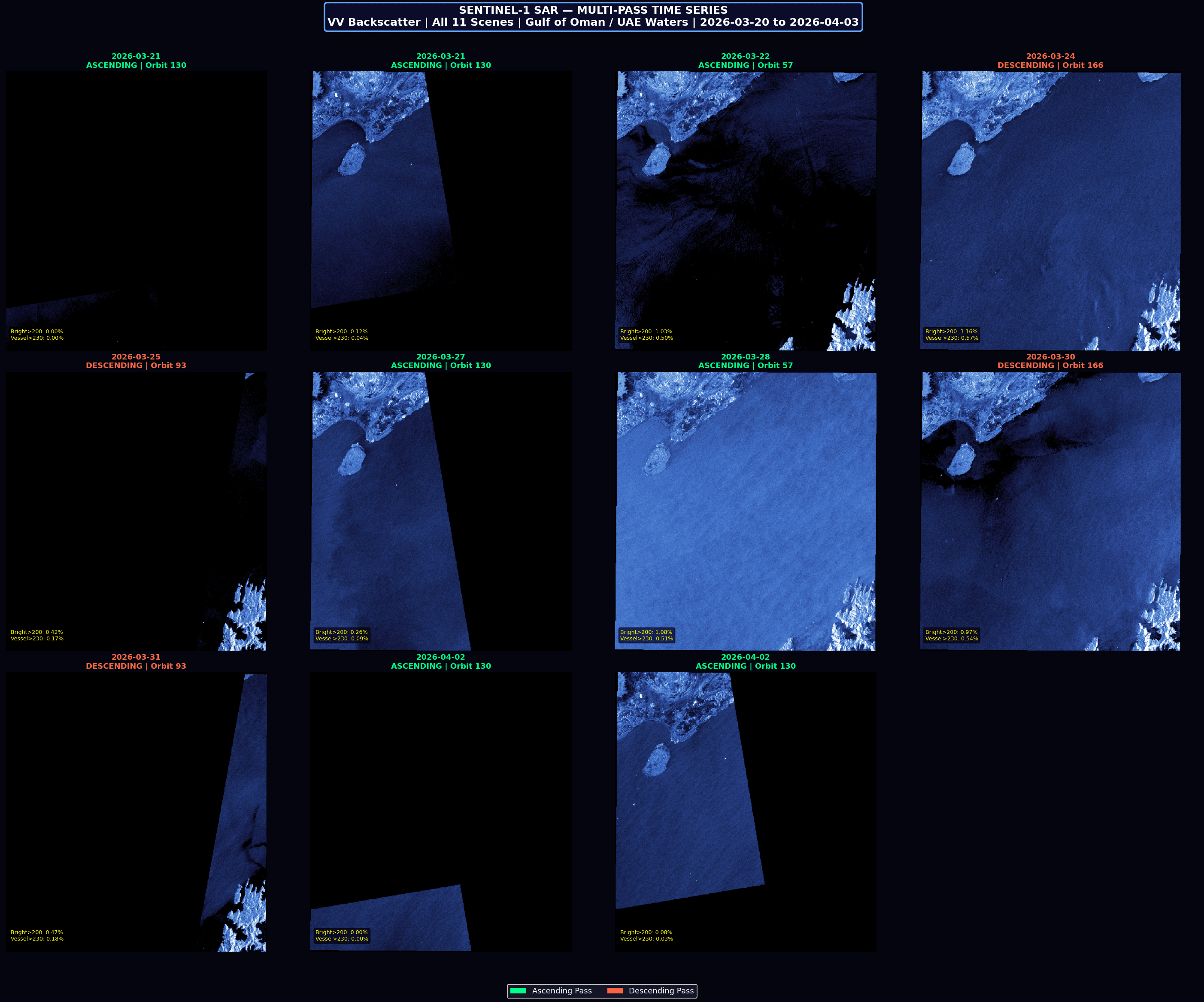
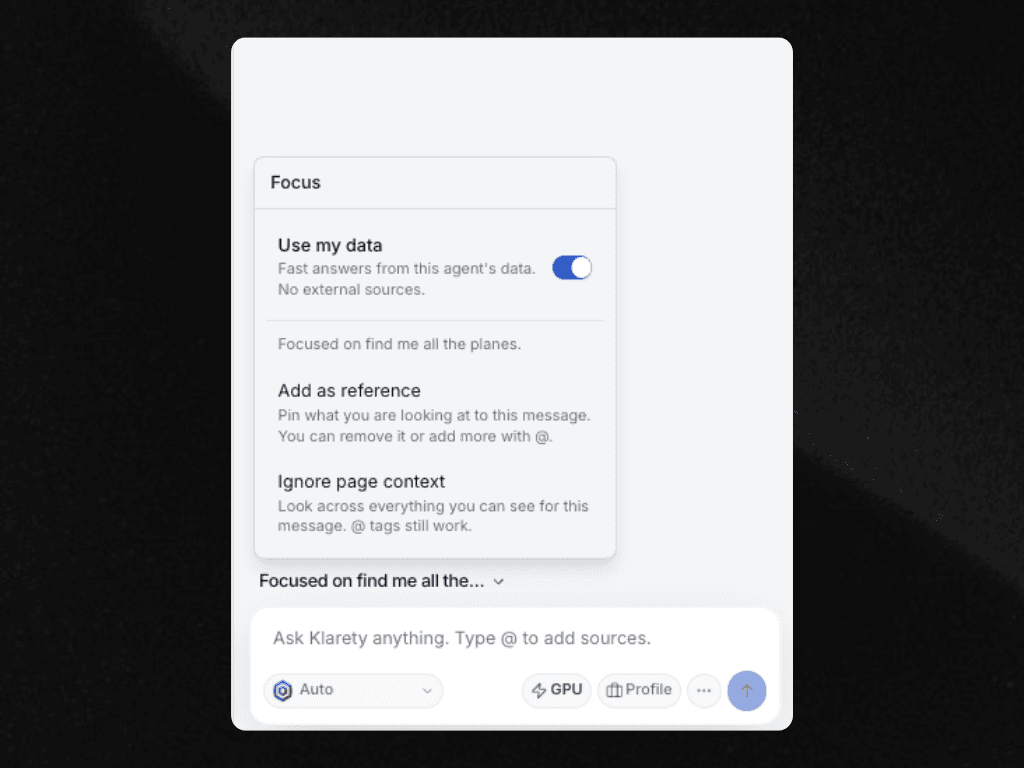
Ad hoc analysis sticks
What Fury finds today is still there when you ask again tomorrow.
Workflow runs compound
Every scheduled GEOBricks run adds to a longitudinal record, not a one-off alert.
Baselines you can defend
Change detection needs history. The GEOLakehouse is where that history lives.
The loop needs the layer
GEOBricks workflows need a real baseline to spot change. Fury needs context to answer harder questions. The GEOLakehouse is the governed spatial memory both depend on. The more your teams work, the deeper it gets.
What flows in
Public earth observation, curated open data, and what your organization already has.
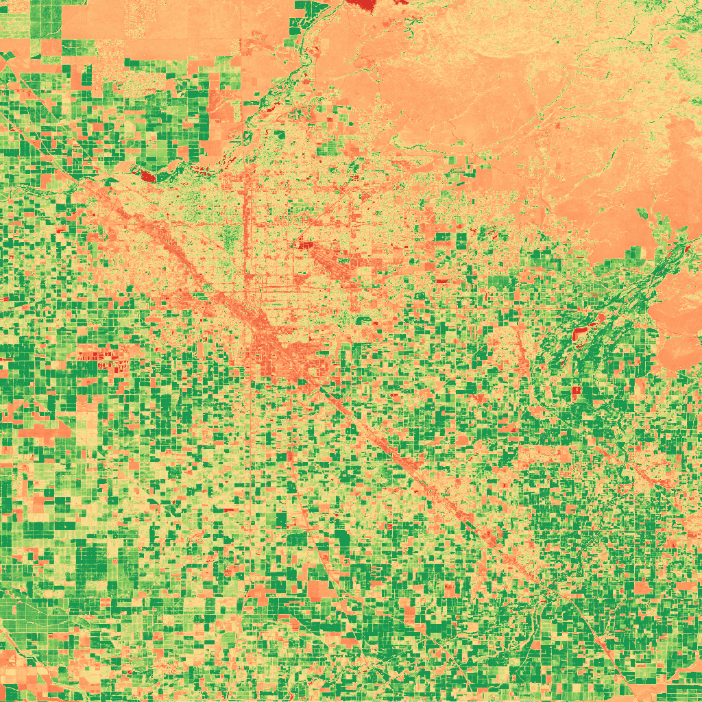
Fresh optical imagery for land, vegetation, and surface change.
Decades of multispectral history for long-range baselines.
Radar coverage through clouds, day or night.
Roads, buildings, and places worldwide.
Curated global places and boundaries.
Weather and environmental feeds alongside your map.
Shapefiles, GeoTIFFs, and internal layers on ingestion.
Parcels, assets, and operational records linked to place.
How the layer gets used
Get started
Bring a real site or a real question. See the GEOLakehouse organize the data, then watch GEOBricks and Fury work on top of it.