Mine Pit Excavation Volume and Progress Tracking
Quantify ore extraction and pit progression without site visits. Klarety compares monthly digital elevation models from Sentinel-2 stereo and high-resolution optical sources to compute excavated volume, measure pit wall advance rates, and assess bench progression. Monthly reports enable production rate validation and forecasting.
Track excavationPit volume and extraction tracking from orbit
Monthly extraction reports without surveying crews
Klarety agents compare monthly elevation models and return excavated volume, bench progression, and production rate reports.
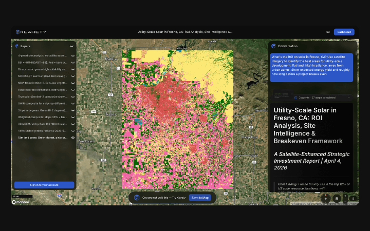
Stereo DEM grid differencing at 2m resolution
Agents generate monthly DEMs from optical stereo pairs and compute volumetric change using grid differencing at 2-meter resolution.
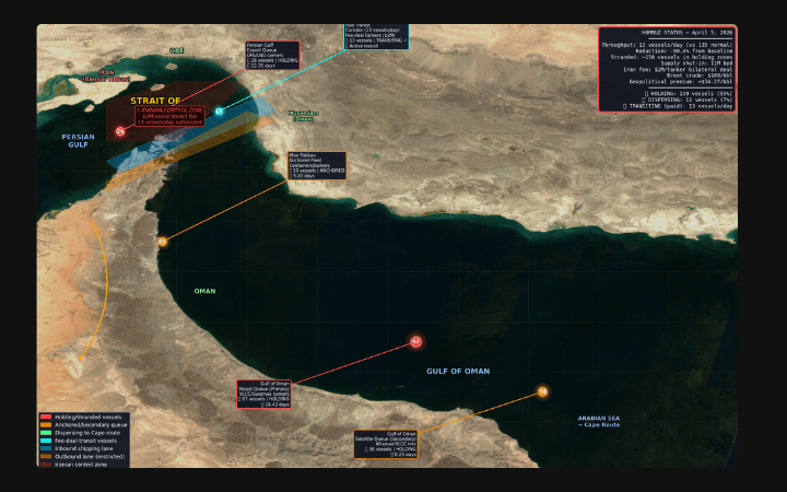
Volume rasters for mine survey and planning GIS
Export volume change rasters and pit wall progression vectors for mine planning software and survey GIS tool integration.
DEM differencing for pit volume and extraction rate
Klarety agents use SRTM and high-resolution optical stereo DEMs at monthly intervals to compute volumetric change via grid differencing. Negative elevation change within pit polygons represents excavated volume. Bench faces are detected as steep slope segments in DEM derivatives. Output is a monthly excavated volume time-series and pit wall advance vector dataset.
Klarety AITrack mine excavation volume from satellite