Ceasefire Compliance Monitoring via Maritime Traffic Patterns
Verify ceasefire adherence through observed changes in vessel behavior. Klarety fuses SAR vessel counts with AIS shipping lanes to compute traffic flow deltas before, during, and after declared ceasefires. Analysts receive confidence-scored compliance reports — transparent, satellite-verified, not dependent on self-reporting.
Analyze complianceCeasefire verification through vessel behavior data
Compliance intelligence from satellite observation
Klarety agents measure traffic flow changes before and after ceasefires and return confidence-scored compliance reports.
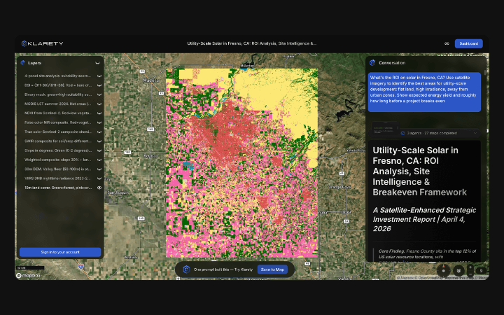
Traffic delta computation against AIS baselines
Agents calculate vessel count deltas at key waypoints and flag route anomalies inconsistent with declared compliance.
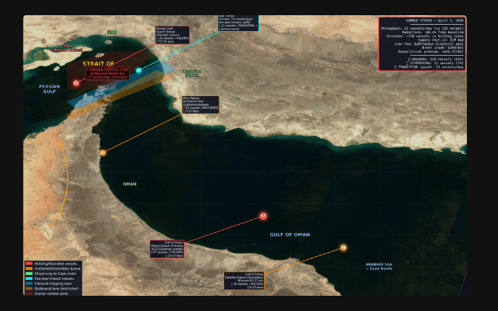
Anomaly vectors for intelligence GIS platforms
Outputs route deviation polygons and flow delta layers for geopolitical monitoring and defense GIS system integration.
SAR traffic delta for ceasefire compliance scoring
Klarety agents compute weekly SAR vessel counts at declared ceasefire-zone waypoints, compare against 90-day pre-ceasefire baselines, and score compliance as the ratio of observed to expected traffic. Anomalous vessel clustering or route deviations are flagged with confidence scores. Output is a waypoint-level compliance table and time-series chart.
Klarety AIRun compliance monitoring for your region