Mining Road Terrain Stability and Landslide Risk Monitoring
Prevent supply chain disruption by identifying terrain hazards along logistics corridors before failure. Klarety processes SAR coherence and optical imagery to flag subsidence zones, slope instability signatures, and active landslide scarps along haul roads. Surveyors receive prioritized maintenance maps updated monthly.
Assess terrain riskTerrain hazard mapping for mine logistics corridors

Haul road risk reports from satellite radar
Klarety agents process SAR coherence over logistics corridors and return monthly terrain stability reports with maintenance priority flags.
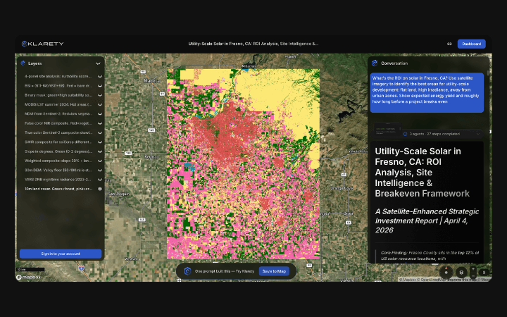
InSAR coherence loss for subsidence and slope failure
Agents compute interferometric coherence loss to detect active subsidence, slope movement, and landslide precursor zones.
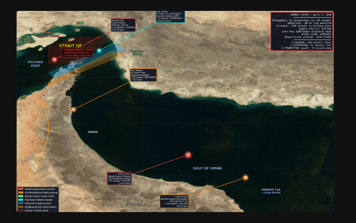
Hazard polygons for mine operations GIS
Export slope instability polygons and subsidence zones for haul road maintenance scheduling and mine operations GIS.
SAR coherence slope instability detection for haul roads
Klarety agents compute SAR temporal coherence loss from Sentinel-1 repeat-pass pairs over haul road corridors. Low coherence combined with steep slope (from SRTM DEM) identifies active displacement zones. NDVI change from optical is cross-validated to distinguish slide scars from vegetation change. Output is a hazard polygon shapefile with risk class and recommended inspection priority.
Klarety AIMap terrain hazards along your logistics corridor