Use cases
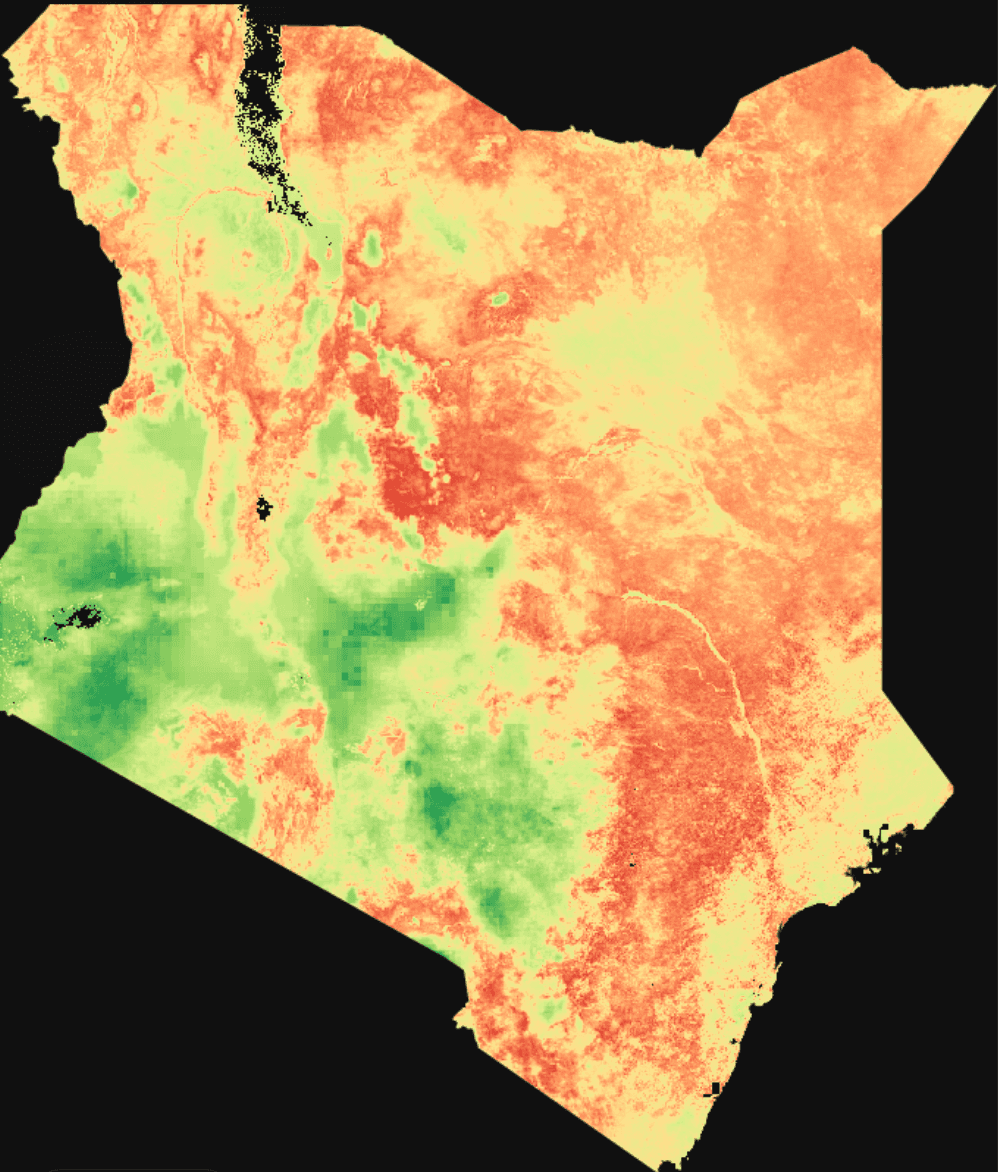
Real agriculture monitoring analyses run by Fury, the spatial coding agent. Each one is planned, coded, and run on live satellite data, end to end.
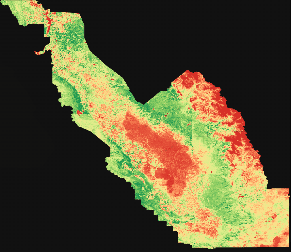
Analyze vegetation index for @central_valley_farms. Identify stress zones for the current winter season.
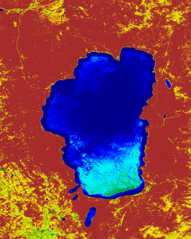
Check water levels in @lake_tahoe basin and predict drought impact for the upcoming 2026 season.
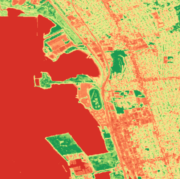
Predict optimal harvest time for @golden_gate_fields based on soil moisture and 2025 yield data.
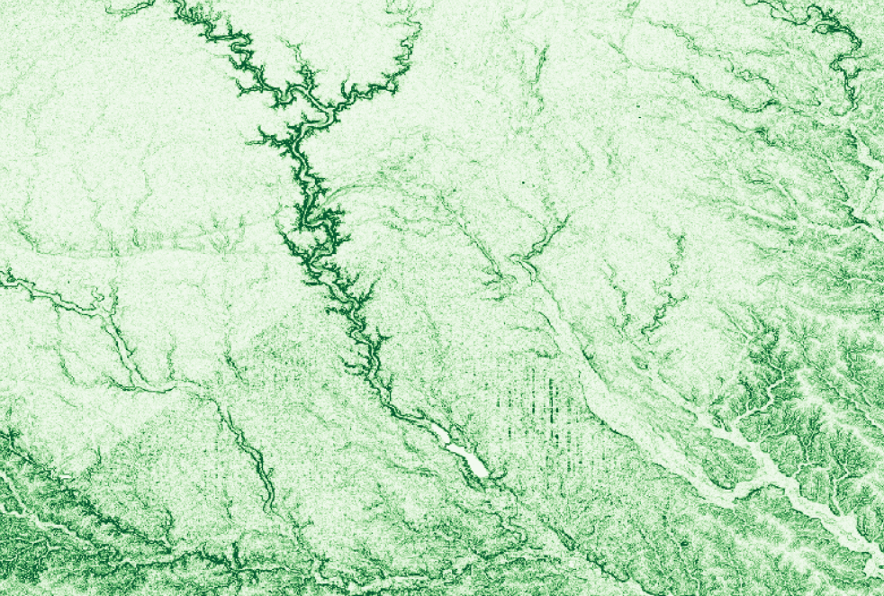
Map soil erosion patterns in @midwest_plains over the last 5 years ending 2025 using comparative imagery.
Detect early signs of locust swarms in @east_africa_region and alert local authorities for 2026.
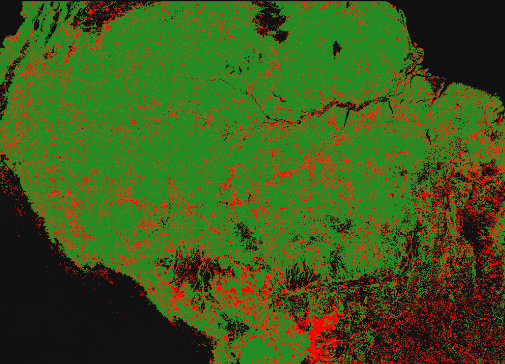
Analyze deforestation in the Amazon rainforest over the last 5 years ending 2025