Use cases
Real urban planning analyses run by Fury, the spatial coding agent. Each one is planned, coded, and run on live satellite data, end to end.
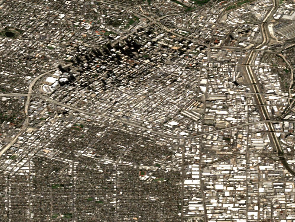
Analyze Jan 2026 peak hour congestion patterns in @downtown_los_angeles to propose signal timing adjustments.
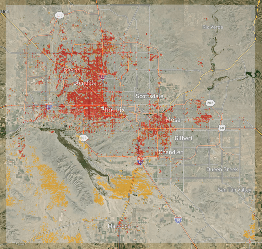
Identify heat islands in @phoenix_metro and suggest optimal locations for new 2026 parks.
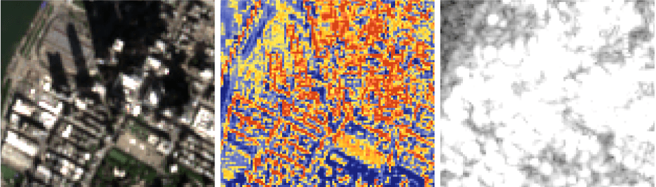
Track vertical progress of @hudson_yards development using weekly satellite passes from late 2025.
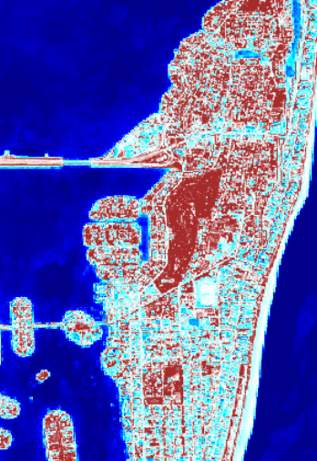
Simulate rising sea levels on @miami_beach infrastructure to update 2026 residential zoning laws.